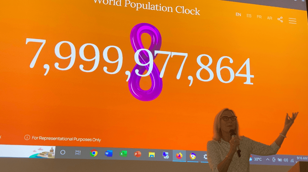
On November 15 the world’s population reached 8 billion. This milestone was an achievement of advancements in medicine and healthcare that have seen people living longer, healthier lives. It is an occasion to reflect on how we can improve access to these advancements, how we can address the needs of aging populations, and how we can leverage the opportunities in those countries that, like PNG, have a large youth population.
UNFPA Country Representative Marielle Sander used this milestone to emphasise the importance of data for informed planning.
“Planning without data is like trying to fly a plane without instruments,” she said.
To recognise the ‘Day of 8 Billion’, UNFPA and the National Statistical Office invited provincial and district planners, development partners, and media to the release of a new population estimation method that can be used to provide a population count, by age and sex, using existing household data and satellite imagery. The activity is part of the Population Data Project, a multi-year project funded by the Australian Government to strengthen data collection, analysis, and utilisation.
The innovative methodology, developed by WorldPop at the University of Southampton, uses existing datasets and satellite imagery to estimate the population count at the national, provincial, and LLG levels. The team at WorldPop has used this methodology in several countries including Afghanistan and Nigeria. This is the first time this method has been used in the Pacific. It is a valuable tool for measuring our region’s remote populations and Papua New Guinea is at the forefront of this state-of-the-art technological solution for population estimation.
The estimation starts by looking at areas where there have been recent, reliable population data collection exercises. In Papua New Guinea, this includes the Urban Structural Listing and Household Survey for the Long Lasting Insecticidal Net Distribution by Rotarians Against Malaria.
The strength of relationship between the population data and the socio-economic, environmental and geographical characteristics, influences which methods are used in population estimation. Some of these characteristics, such as night-time lights, vegetation cover, slope, and built areas, are measured using aerial images that are collected from satellites. The relationship between population size and geographic characteristics can then be used to estimate the population of the areas for which we do not have recent observations.
In PNG, 60% of the population is under 25. This is a great economic opportunity for the country as the working age population will, in a few years, exceed the non-working age population. This can lead to economic growth if investments in education and healthcare are made now. While awaiting results of a National Household Census, a population estimate can assist planners in understanding just how many young people are in Papua New Guinea and, therefore, the investments needed to ensure each young person has access to quality education and healthcare so that they can fulfill their potential.
UNFPA and Population Data
Since its inception, one of UNFPA’s core mandates has been to strengthen national capacity to collect, process, analyze, disseminate and use data for development. UNFPA’s key areas of support include providing technical support, generating and sharing knowledge, providing learning and training opportunities, developing census technical and operational guidance tools, brokering South-South cooperation for census support, and promoting dissemination and open access to census data.
UNFPA has launched the Population Data Portal – an interactive, web-based data platform that integrates quantitative and geospatial data, including census data, with in-built dynamic analytic functions.


